Flight Data
Airplane: Piper Cherokee PA-28-161/A N9206NHobbs: 1.6
Landings: 1
Instrument Approaches: 2
Flight Overview
In this afternoon's lesson, we worked on tracking ETA/ATA (estimated time of arrivals, actual time of arrival), ETE/ATA (estimated time enroute, actual time enroute). We did an approach at Oceanside, some unusual attitudes, and the ILS back to Montgomery.
The flight was unusual in the we made the approach to MYF in the dark, and there was weather in the area - at several points in time during the flight we were IMC (Instrument Meteorological Conditions, or flying in clouds), most notably at Oceanside where the clouds were 1300 AGL, scattered, and during the ILS approach into MYF.
ETA/ATA etc.
Part of what I will need to demonstrate during my Instrument checkride with the FAA next month is my ability to file a flight plan, and then fly the first leg or so of that flight plan. The flying part, in and of itself, is something that I have had plenty of practice with. Today, however, a wrinkle was added - I needed to compute, for each leg of the initial part of this flight, the estimated time enroute, in minutes, given an groundspeed provided by my instructor.
At takeoff, I would (as usual) note the clock time of the takeoff, and then as the flight progressed, compute estimated time of arrival at each component of the flight plan, noting the actual time of arrival at each, and compute the ETA of the next component using that time plus the estimated time enroute of the next leg. Sounds simple, but doing that while flying adds to workload.
The workload was higher due to the relatively close spacing of the reporting points as fabricated by my instructor - entering V23, CARIF and HURSI intersections, See the following portion of the Low Altitude IFR chart to see the spacing of these reporting points (approximately 8 DME from KMYF to V23, 13 DME from OCN VOR to CARIF, and 4 DME from OCN VOR to HURSI):
The trick to doing this right the first time, I think, is to try and fly the route, if you can, in your head ahead of time while on the ground, going through the motions of recording the times before getting into the plane.
The reason tracking positions is important is because of the need to be prepared to provide position reports and estimates if required by ATC. In the event of a loss of radar coverage, the FAA requires an IFR pilot to report reaching any compulsory reporting points (as defined on the charts as shown above and on the approach plates) as well as the elements that make up the route of the flight. In summary, the following must be reported at each reporting point (to quote the FAA):
1. Aircraft identification 2. Position 3. Time 4. Altitude or flight level (include actual altitude or flight level when operating on a clearance specifying VFR-on-top) 5. Type of flight plan (not required in IFR position reports made directly to ARTCCs or approach control) 6. ETA and name of next reporting point 7. The name only of the next succeeding reporting point along the route of flight 8. Pertinent remarks
At takeoff, I would (as usual) note the clock time of the takeoff, and then as the flight progressed, compute estimated time of arrival at each component of the flight plan, noting the actual time of arrival at each, and compute the ETA of the next component using that time plus the estimated time enroute of the next leg. Sounds simple, but doing that while flying adds to workload.
The workload was higher due to the relatively close spacing of the reporting points as fabricated by my instructor - entering V23, CARIF and HURSI intersections, See the following portion of the Low Altitude IFR chart to see the spacing of these reporting points (approximately 8 DME from KMYF to V23, 13 DME from OCN VOR to CARIF, and 4 DME from OCN VOR to HURSI):
 |
| MYF to V23 to CARIF to HURSI |
The reason tracking positions is important is because of the need to be prepared to provide position reports and estimates if required by ATC. In the event of a loss of radar coverage, the FAA requires an IFR pilot to report reaching any compulsory reporting points (as defined on the charts as shown above and on the approach plates) as well as the elements that make up the route of the flight. In summary, the following must be reported at each reporting point (to quote the FAA):
1. Aircraft identification 2. Position 3. Time 4. Altitude or flight level (include actual altitude or flight level when operating on a clearance specifying VFR-on-top) 5. Type of flight plan (not required in IFR position reports made directly to ARTCCs or approach control) 6. ETA and name of next reporting point 7. The name only of the next succeeding reporting point along the route of flight 8. Pertinent remarks
Flying IMC and at Night
This flight must have been really fun for my instructor. Clouds at 2000 feet, flight from dusk to dark, IMC at times, and a full moon (!!!) was visible. I got to take the hood off when we arrived at the missed approach point at Oceanside, and during parts of the missed approach we were in and out of the clouds. I also got to see the flight the last 2 or 3 miles on the ILS into Montgomery Field. Part of that approach had us going in and out of clouds as well. It was beautiful! I look forward to getting my IFR ticket next month and seeing for myself an entire IFR flight in similar conditions, without the hood on.
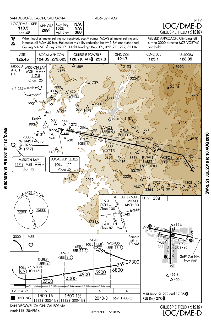
 |
| VOR Approach, Oceanside |
Speaking of Night Flying...
I was well prepared for night flight (technically, we landed 35 minutes after sunset, as so it wasn't officially night per the FAA, as night doesn't start until 1 hour after sunset, but it was plenty dark, I assure you). I had in my flight bag both a head mounted light with a red lens, and a handheld flash light with dual red and white led lenses, both colors controllable via separate on/off switches. Great flashlight! Here are links to what I recommend.
https://www.amazon.com/Smith-Wesson-Galaxy-Flashlight-White/dp/B000I4JG26/
https://www.amazon.com/Boruit%C2%AE-Headlamp-Red-Light-Rechargeable/dp/B014ZI5I9U/
https://www.amazon.com/Smith-Wesson-Galaxy-Flashlight-White/dp/B000I4JG26/
https://www.amazon.com/Boruit%C2%AE-Headlamp-Red-Light-Rechargeable/dp/B014ZI5I9U/
It was especially important to have both of these lights I found out. The headlamp allowed me to make glances at the charts without fumbling for a flashlight. And the flashlight came in handy because the light on the mag compass was pretty much not working, and I found it much more convenient to use the flashlight to check the mag compass than using the headlamp. This was because the headlamp was positioned on my head optimally for chart use, not for lighting the panel or compass.